Annapurna Circuit Trek – 18 days

- 17 Breakfast
- 14 Lunch
- 15 Dinner
- 3 Nights Hotel in KTM
- 1 Night hotel in PKR
- 13 Nights in Lodge
- Sightseeing
- Trekking
- Hiking
- Mar – Aprill
- May – June
- Sep – Dec
$ 920USD
- No. of Pax Per person
- 1 personUS$ 1300
- 2 - 2 peopleUS$ 1150
- 3 - 5 peopleUS$ 1120
- 6 - 9 peopleUS$ 1050
- 10 - 15 peopleUS$ 950
- 16 + people 9999 US$ 920
Total Cost:
US$ 1300
- Private trip departures everyday
- No hidden cost
- Local based company
- We can help for big group
- Over 17 years of experience
- According to your needs, we can Customize the itinerary.
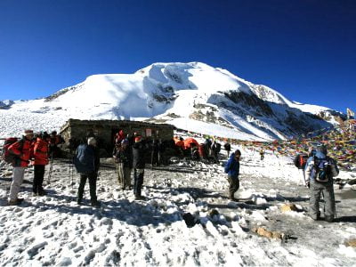
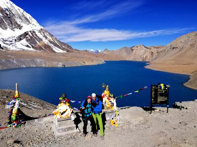
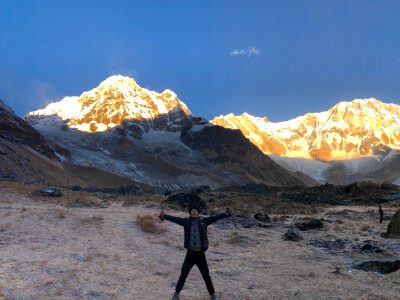
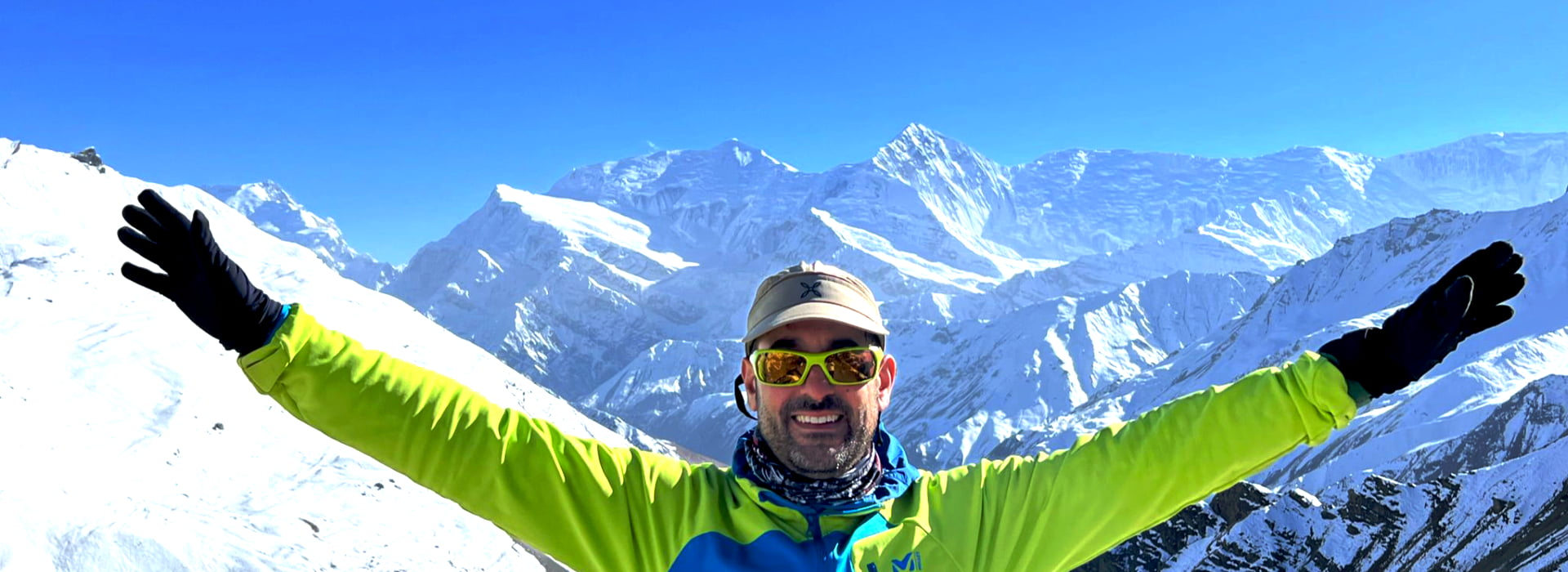
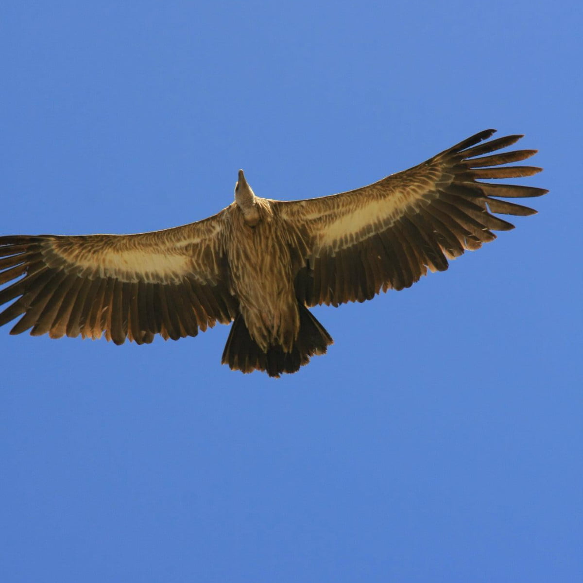
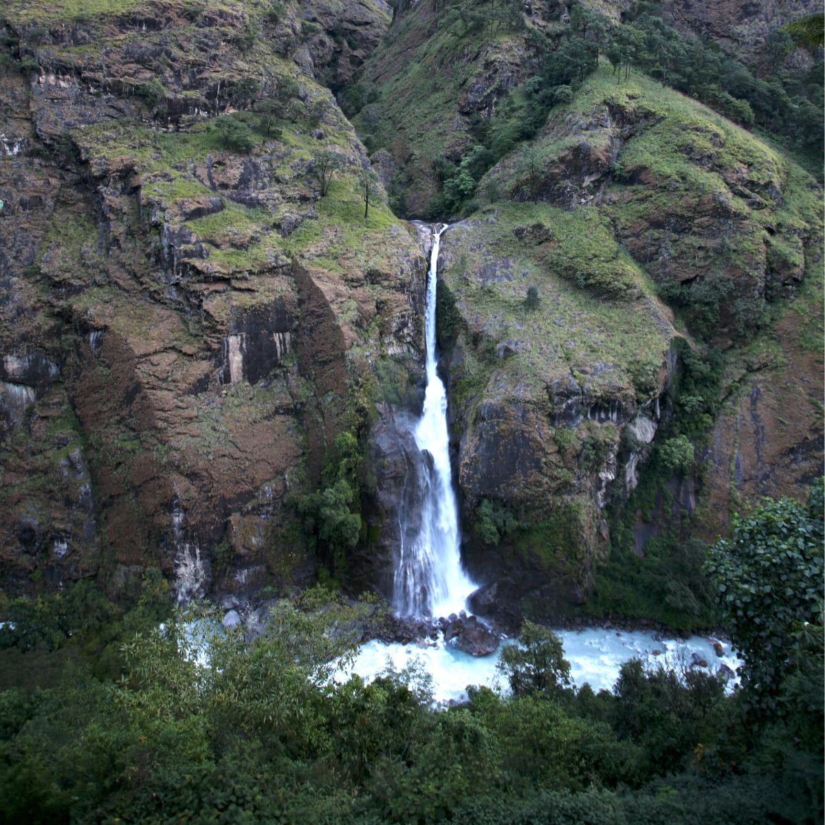
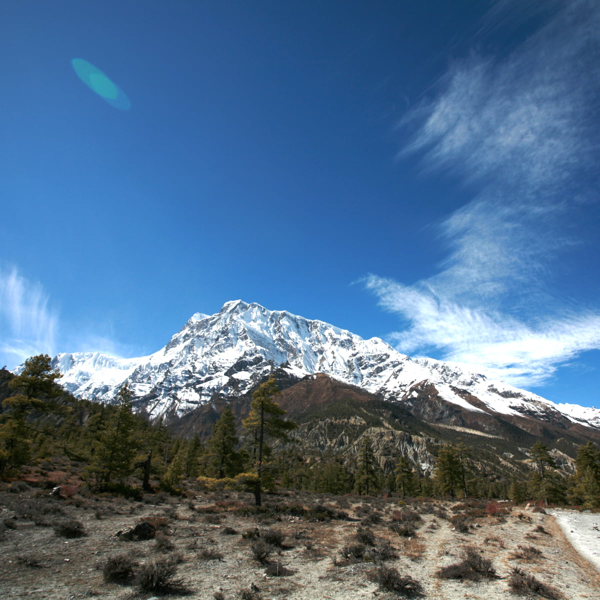
Annapurna Circuit Trek – 18 days Photo Gallery

Itinerary of Annapurna Circuit Trek – 18 days
| Day | Mode | Route Itinerary | Elev.(m) | Duration | Overnight | Included |
|---|---|---|---|---|---|---|
| Day 01 | Flight | Arrival in Kathmandu - Hotel | 1300 | ---- | Hotel | D |
| Day 02 | Tour/SS | 4 Major places Sightseeing | 1,300 | 6-7 hrs | Hotel | B |
| Day 03 | Drive | Drive - Besisahar- Chyamche | 1,410 | 8-9 hrs | Guesthouse | B L D |
| Day 04 | Trek | Chyamche - Dharapani | 1,860 | 5-6 hrs | Guesthouse | B L D |
| Day 05 | Trek | Dharapani - Chame | 2,530 | 5-6 hrs | Guesthouse | B L D |
| Day 06 | Trek | Chame - Pisang | 3,060 | 5-6 hrs | Guesthouse | B L D |
| Day 07 | Trek | Pisang - Manang | 3,440 | 5-6 hrs | Guesthouse | B L D |
| Day 08 | Hike/rest | Visit View point and rest day | 3,440 | 3-4 hrs | Guesthouse | B L D |
| Day 09 | Trek | Manang - Yak Kharka | 4,010 | 4-5 hrs | Guesthouse | B L D |
| Day 10 | Trek | Trek -Thorang High Camp | 4,880 | 4-5 hrs | Guesthouse | B L D |
| Day 11 | Trek | Trek- Thorang Top - Muktinath | 5,416/3,700 | 7-8 hrs | Guesthouse | B L D |
| Day 12 | Trek | Muktinath - Jomsom - Marpha | 2,670 | 5-6 hrs | Guesthouse | B L D |
| Day 13 | Trek | Marpha - Ghasa | 2,010 | 6-7 hrs | Guesthouse | B L D |
| Day 14 | Trek | Ghasa - Tatopani ( Hot Spring) | 1,190 | 5-6 hrs | Guesthouse | B L D |
| Day 15 | Trek | Tatopani - Ghorepani | 2,853 | 7-8 hrs | Guesthouse | B L D |
| Day 16 | Trek/drive | Trek - Poon hill - Birethanti- PKR | 820 | 8-9 hrs | Hotel | B L |
| Day 17 | Drive | Pokhara - Kathmandu | 1,300 | 7-8 hrs | Hotel | B |
| Day 18 | Flight | Final -Departure or Extend days | ----- | ---- | ---- | B |
Includes/Excludes
What's included
- Airport pick up and drop in a private vehicle.
- Sightseeing in Kathmandu accompanied by our private guide and vehicle.
- Standard hotel accommodation with breakfast in Kathmandu
- Kathmandu to Besisahar by Local Bus.
- Besisahar to Chyamche with Sharing Jeep
- Pokhara-Kathmandu on a tourist bus.
- Hotel accommodation with breakfast in Pokhara.
- Pokhara-Nayapul drive on a private vehicle.
- Necessary papers and trekking permits ( ACAP permit and TIMS permit )
- 3 meals ( Breakfast, Lunch, and Dinner/ main Course), during trekking.
- Seasonal fruits after night meal.
- Accommodations in a lodge/Guesthouse during the trek.
- Well-trained English-speaking guides (including their salary, accommodation, meal, transportation, and insurance).
- For groups over 6 people – assistant guide (including their salary, accommodation, meal, transportation, and insurance).
- Porters throughout the trek – 1 porter will carry 2 trekkers’ baggage. (Including salary, food, accommodation, and transportation).
- Basic equipment for trekking such as a down jacket, sleeping bag, duffel bag, and Ambition Himalaya t-shirt ( Duffel Bag, down jacket, and sleeping bag must be returned after the trek).
- General First aid Medicine with Guide
- Oximeter to Measure your Oxygen Label Blood Circulations ( It is helpful to avoid High Altitude sickness)
- Expedition taxes, paper works, and company service charges for the trek.
- A complimentary traditional Nepali dinner on arrival.
- Certificate of achievement can be prepared with the signature of the company director and your local guide (only if requested).
Optional Addons
(Available addons on extra cost)
- Kathmandu to Trekking starting point Private Jeep
- Pokhara to Kathmandu private car/Flight
- Luxury hotels in Kathmandu and Pokhara
What is excluded
- Overseas airfare and visa fees ($30 for 15 days, $50 for 30 days, and $ 125 for 90 days ).
- Travel, emergency rescue charge, and insurance.
- Food other than those mentioned above, tea -coffee, telephone bills, laundry charges, and shower fees.
- Wi-fi charger and battery charging bill during the trek.
- Extra porter and activities outside the itinerary.
- Lunch & dinner costs during Kathmandu stay.
- Lunch and dinner cost in Pokhara.
- Extra costs caused by a natural disaster, flight delay, early arrival, etc.
- Extra incentives such as tips and gifts for the guides and porters.
- Any benefits not mentioned in the ‘cost includes’ section unless indicated on booking.
Equipment you need to bring
Pair of trek boot, sleeping bag, down jacket, pullovers, neck scarf for evening/night/morning.
Sun hat and casual warm clothes for day.
Some pairs of good quality socks, slippers, suntan lotions, personal medications etc. Click here for more details.
Private Group Discounts Available
| No. of People | Price Per Person |
| 1 Pax | US$ 1300 |
| 2 Pax | US$ 1150 |
| 3-5 Pax | US$ 1120 |
| 6-9 Pax | US$ 1050 |
| 10-15 Pax | US$ 950 |
| 16 Over | US$ 920 |
Trip Information
Best time
The Annapurna Circuit Trek can be best done during spring (March to May) and autumn (September to November). Such months provide the most predictable and clear weather that is perfect for trekking. The spring also leads to warm days, flowers of rhododendrons, and colorful scenery. Autumn is a time of clear, bright air and a fine mountain view.
The sky is generally clear, and one can view the mountains such as Annapurna, Dhaulagiri, and Machhapuchhre clearly. They are also the seasons when trekking is most often done, so there are likely to be more trekkers on the trail and in the teahouses. During these best months, there might be congestion in the trails and the lodges; nevertheless, the entire experience is rewarding.
There are off-peak months, such as early December (can be OK in settled weather), December-February (very cold, snow possible at the pass) and June-August (rainy seasons), when there are fewer trekkers because of the cold or landslides and slippery trails.
People who want a less crowd experience can hike during the first weeks of winter which is early December (only in settled weather) or shoulder weeks with appropriate equipment. The selection of the appropriate season will guarantee the safety, comfort, and the mountain panoramas.
Elevation and Distance
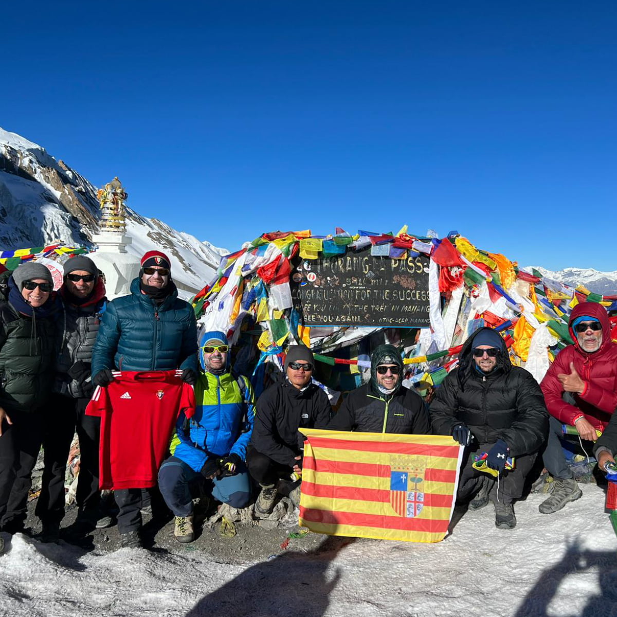
The overall trekking distance in the Annapurna Circuit Trek is about 160-200 kilometers, depending on the trek route and side trips taken. The hike starts approximately Besisahar (~760m) or Chyamche (~1,430 m) and then progressively ascends through lush valleys, forests, and alpine regions to the numerous heights at Thorong La Pass (5,416 m). This is one of the most legendary parts of the whole path, as it is a high-altitude one.
The elevation generally increases with occasional ups and downs. It decreases somewhere in the initial days of the trek, but gradually increases with every passing day that the trekkers leave Chyamche, Dharapani, and Chame for Pisang and Manang, and the elevation gradually increases uphill. The acclimatization days are normally scheduled in Manang so that the body can get acquainted with the altitude.
The route crosses Thorong La Pass and goes down through Muktinath and Jomsom. You can then descend to Tatopani (~1,190 m) and, on the extended route, climb again to Ghorepani (~2,874 m) before finishing near Nayapul (~1,070 m).
The gradual ascent also reduces the occurrence of altitude sickness and renders the long-distance trek manageable even to people who do not have high trekking experience.
Difficulty and Altitude Sickness
The Annapurna Circuit Trek has been classified as moderate to difficult. The terrain consists of arduous hours of walking, sharp climbs, and areas that are high up. Trekkers see different elevations in a day, with the most challenging one being the ascent of Thorong La Pass, which is 5,416 meters. The challenge is based on bodily fitness, preparation, and trek pace.
The goal of acclimatizing is one of the major aspects of the successful completion of the trek. An additional day at Manang (3,540 m.) is normally scheduled to allow the body to acclimate to low oxygen levels. The rest day has been shown to considerably reduce the chances of altitude sickness and make the Thorong La ascent easier.
Acute mountain sickness (AMS) symptoms include headache, nausea, specific dizziness, loss of appetite, and fatigue. It is necessary to avoid climbing fast, drink lots of water, avoid alcohol, and pay attention to your body. In case symptoms become more severe, one has to go down immediately.
Other trekkers also bring some drugs, such as acetazolamide, after the doctor’s advice. The most effective measures against AMS are proper pacing, acclimatization, and hydration. One can complete the Annapurna Circuit Trek safely and with pleasure, even at the challenging altitudes, with the right preparation.
Maximum and Minimum Walk per Day
The average walking time by the trekkers on the Annapurna Circuit Trek varies between 5-7 hours per day. Daily distance and time are confined to the terrain and height, as well as the weather. The slow initial ascent process entails gradual walks in the forests, riverbanks, as well as the village custom.
The crossing of Thorong La Pass is the longest day, and it takes approximately 7 to 9 hours. This is a section that begins at a very early time of the morning, before the top might have strong winds. Its steep passage and the altitude make it the most challenging stretch of the trek.
The acclimatization day, which takes place in Manang, is the shortest walking day as the trekkers either rest or walk on short routes around the specific viewpoints. The difference in terrain and height has a direct impact on the pace of walking.
An elevated altitude needs steps to be slower, and they should be taken with a lot of breaks. The adequate amount of time spent on the walk should be planned, which will allow for to control of fatigue and eliminate the possibility of such problems associated with the altitude.
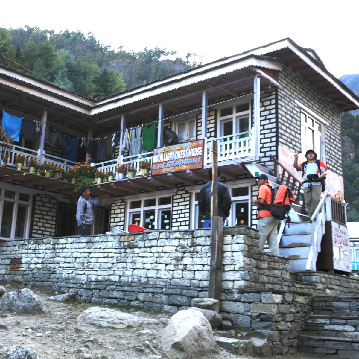
Accommodation
There are teahouses, guesthouses, and simple lodges as the main accommodation types on the Annapurna Circuit Trek. These are operated by the local families and offer rest, food, and sleep to the trekkers. The majority of rooms are in twin sharing, consisting of a plain bed, blankets, and pillows.
The facilities at lower altitudes, particularly in such villages as Chyamche, Dharapani, and Chame, are better. Trekkers will enjoy the benefits of having their own room, own bathroom, hot showers, and strong charging stations. There can even be places that will provide Wi-Fi which is common in Chame, Pisang, Manang and is limited above the Yak Kharka. Food selection also becomes narrower with increase in altitude.
The lodges are more basic at the higher altitudes like Manang, Yak Kharka, and Thorong Phedi. Hot water and charging, as well as Wi-Fi, are usually offered at an additional fee, and common are shared toilets. It has warm dining halls with wood stoves where people can comfortably meet during the evenings.
Clean, safe, and warm places of staying should be expected without luxurious needs by trekkers. It is advisable to carry a sleeping bag or a liner to keep warm and to maintain hygiene, particularly at higher altitudes.
Foods and Drinks
The food in the Annapurna Circuit Trek is basic, satisfying, and very common. Dal bhat, a traditional Nepali meal, a combination of rice, lentil soup, and vegetables, is the most popular meal that gives one the strength to continue the long trekking days. Alternatives that are also popular are soups, noodles, pasta, eggs, fried rice, and a few Western cuisines such as pancakes or omelets.
In lower altitudes, the food assortment is more abundant, and fresh vegetables and food are more readily accessible but above Manang it becomes limited. The higher the altitude, the more restricted the menu and the prices of food change, being higher because of transport difficulties. Food in elevated areas is simple yet nourishing as it is meant to keep the trekkers warm and active.
There is a need for safe drinking water. Refill with boiled/filtered water or use purification. As you climb up, bottled water is served more costly. To keep the energy going and avoid stomach complications, it is better to choose local meals and safe water sources.
Alternative Routes
The Annapurna Circuit Trek has a number of alternative paths, which might either make the experience better or make it shorter. A well-known side excursion would be the walk to the Tilicho Lake, one of the highest in the world at 4,919 meters.
The side trip is optional and adds 2-3 days and offers good-looking alpine views. The other alternative is the remote Nar Phu Valley, which requires a special permit i.e. Nar Phu Restricted Area Permit and additional days, but provides a more rewarding cultural experience to those who visit it.
There are shorter exit routes for those who have limited time. Trekking pattern of finishing the same trek at Jomsom and then boarding an aircraft or vehicle to Pokhara, thus bypassing the last part of the route through Tatopani and Ghorepani.
Variations in the route will enable the flexibility of varying fitness levels and schedules. Although the classic circuit takes approximately 18 days, these selections can lengthen or cut short the itinerary. Diversions are more picturesque, and more cultural stops; and shorter exits are available, without affecting the trekking experience itself.
Can a Beginner Join This Trip?
With the right preparation and training of 2-3 months, fit beginners can accomplish this trek, though it is demanding due to long duration and high altitude. While it involves spending long hours walking and walking over high altitudes, the gradual nature of ascent will enable the body to adapt to reduced oxygen levels, thus manageable even to a trekker who has never been to a location before.
Amateurs must not rush and listen to their bodies; they should take a break as soon as it is required. It is mandatory to hire a licensed guide. They can hire porters also, which is optional but recommended for beginners.
Guides equip one with important information about the trail, the weather conditions, and the local culture, and porters assist with the heavy luggage, giving the trekkers time to walk and reconcile themselves with the culture of their new surroundings. This assistance reduces fatigue and increases safety.
Physical fitness is not more important than mental preparation. Those who are starting should be prepared to change the weather, simple accommodations, and limited facilities at high altitudes. During the light training, such as cardio, endurance, and walking up the hill, stamina and confidence will be improved.
After careful planning, guidance, and a step-wise approach, although beginners can finish the Annapurna Circuit Trek and have a pleasant and safe experience of the grand mountain views and the cultural richness of the place.
Preparation and Fitness
It needs proper preparation and fitness to do this trek comfortably and safely. Pre-training before the actual trek must be cardiovascular stamina, leg strength, and stamina in general stamina. Running, cycling, climbing stairs, hiking with a weighted backpack, etc, are activities that are used to condition the body to various hours of walking and steep heights. Leg, core, and back strength training are also beneficial in reducing fatigue and avoiding injuries.
A properly set out gear checklist is very important. Trekkers need to be equipped with a tough backpack, warm outerwear, trekking footwear, a sleeping bag, walking poles, and a rain suit. Wearing in layers is advised so that with the changing temperatures, one can adjust to it. Necessities such as gloves, hats, sunscreens, and shades keep off the sun and wind.
Preparation for altitude consists of acclimatizing in Manang and the slow mountain pass of Thorong La Pass. Mental preparation is also notably vital; at the same time, trekkers must be ready to live in simple accommodations, without much connectivity, and unpredictable weather. Working out these obstacles beforehand will keep the expectations positive.
Trekking the Annapurna Circuit Trek is a safe adventure with determined fitness training, the right equipment, and a state of mind, and is likely to reduce the dangers of fatigue and altitude.
Gadget Charging and Internet
Fortunately, most teahouses offer gadget charging, though you’ll generally have to pay a little extra for the privilege. Charging facilities also tend to be more reliable at lower altitudes with occasional blackouts. Villages such as Chyamche, Dharapani, and Chame are good options – while at higher settlements, including Manang, Yak Kharka, and Thorong Phedi, you can pretty much forget about relying on a steady power supply – it’s a hit-and-miss affair.
Wi-Fi is available in some teahouses but is paid and often unreliable above Manang (≈ NPR 200–500 per login/hour). With the mobile network, the coverage is rather spotty: different providers are pretty different in their reliability, but generally speaking, the lower regions have many times a much better signal than the higher altitudes, where you mostly get nothing.
For trekkers, bring some backup power onboard, such as a good and reliable portable charger or a portable solar charger, so your phone, camera, and GPS devices will keep going for some time.
The management of your battery life is quite important, especially at high altitudes. Be very aware of how you are using your gear and make sure you have a plan in place to keep it all topped up. To be honest, all connectivity is pretty iffy, and you really don’t want to get too carried away using your digital devices; it’s a matter of realism and optimization of your time on the trek.
Permit
Trekking in Nepal requires two permits: the ACAP for the Annapurna Conservation Area and a TIMS card, both of which are required to be issued through the Nepal Tourism Board. The whole point of the ACAP is to monitor the environment and culture of the Annapurna region, while TIMS gives the basic record of the number of trekkers for safety reasons.
ACAP costs USD 30 for foreigners. TIMS costs USD 20 for organized trekkers and USD 10 for SAARC nationals. Since April 2023, both are required through a registered agency with a guide. You can pick both of these up in Kathmandu, Pokhara, or at the various offices spread along the trail.
Just so long as you have your passport and visa, passport-style photos, and a completed form, you’re good to go. Nepalis don’t need a passport, though – a citizenship certificate will do the trick just fine. Also, for SAARC citizen, they will get some discounts.
You’ll pass through checkpoints all along the route, especially when entering or leaving the region, and the relevant officials will most probably ask for your permit. Trekkers, take note: you’ll have to carry with you both the original and a photocopy of your permit. It is good permits that get you legal trekking, access to all the good bits, and safety checks along.
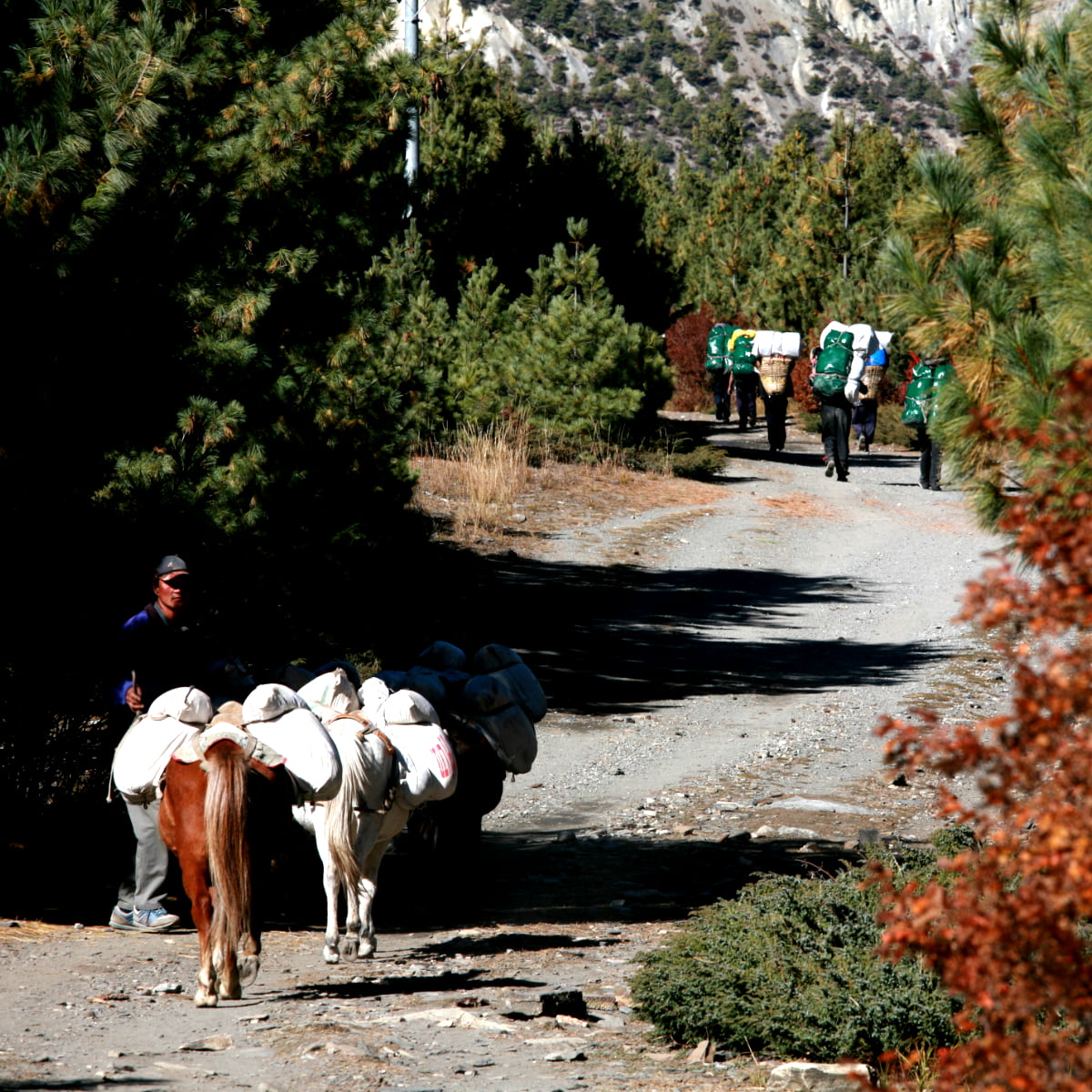
Transportation
Transportation plays an important role in planning the treks. The trek commences with a drive to Chyamche, passing through scenic valleys and towns like Besisahar and Jagat. The roadways take some 8-9 hours to drive, and Lamjung Himal, Manaslu, and Peak 29 start unfolding before one’s eyes. In the dry season, the road now reaches Chame, taking about 10–11 hours from Kathmandu.
Tourist buses and private jeeps are available as options. Private jeeps promise faster and more comfortable travels in flexible timeframes, while public buses are quite economical, yet slower and crowded. Most trekkers return to Kathmandu at the end by bus, tourist coach, or private vehicle. Tourist buses normally offer a good service—an upshot in comfort and price—whereas private transfers offer a door-to-door service.
Alternatively, flights can be opted for to reach Pokhara. Domestic flights save time and provide awesome aerial views of the Annapurna and Dhaulagiri ranges. Weather conditions can sometimes delay or cancel a flight. An optional 20-minute flight is also available from Jomsom to Pokhara.
For this reason, trekkers should allow some room for flexibility in their plans. Proper planning of the transport means smooth initiation and termination of the Annapurna Circuit Trek.
Insurance
Buy travel insurance that explicitly covers trekking to ≥5,500 m in Nepal and includes helicopter evacuation. Read exclusions carefully. Trekkers should choose the policy that specifically covers high-altitude trekking; the policy usually includes “trekking above 4,000 meters.”
Ensure coverage is at least 5,500 meters and includes helicopter evacuation in Nepal. Standard travel insurance does not include helicopter evacuation or mountain rescue, so verification should be done on the paper carefully before purchasing.
Proof of insurance is carried, as a guide, porter, or local authority may ask for it at any checkpoint. It is recommended that one carry both digital copies stored on a phone or cloud and a printed copy.
Good insurance means peace of mind, allowing trekkers to focus on their journey, knowing that any medical support one might require is taken care of, as well as emergency evacuation. This is an important part of responsible planning for the Annapurna Circuit Trek.
What to Expect
The region offers the most spectacular panoramic mountain views. It ranges from the dynamics of peaks like Annapurna (8,091 meters), Dhaulagiri (8,167 meters), Machhapuchhre (6,993 meters), Lamjung (6,983 meters), and Manaslu (8,163 meters). Lower down, the valleys have terraced fields, rivers, and rhododendron forests, while higher up there are snow peaks, glaciers, and rugged landscapes.
Every day brings new views, and spots like Poon Hill offer stunning sunrises and sunsets. The trek must include cultural experiences. The trail goes through the traditional Gurung and Thakali villages, and the trekkers can witness the local way of life, architecture, and their hospitality.
The settlements of ancient Khangsar and Jharkot show the traditions of centuries of the past monuments, monasteries, and spiritual centers with fluttering prayer flags and chortens. Meeting the locals provides the trekkers with an opportunity to learn the peculiarities of life in the Annapurna area, its traditions, festivals, and everyday life.
Natural hot springs at Tatopani are a relaxing reward after the trek. The trek is hard, with long walks, hills, and high altitudes. Going slow helps avoid fatigue and altitude sickness.
The 5,416-meter pass is hard but gives amazing mountain views. Gangapurna Lake and Manang are memorable. The Annapurna Circuit Trek is a mix of adventure, cultural experience, chance to explore and make lasting memories.

Good to know, before you travel
Want to learn more about this journey in-depth? Essential Trip Information includes a thorough itinerary, information for visa processing, Accommodations, Food , Acclimatization’s and pretty much anything else you could possibly need to know about this tour. Read more inside.
Frequently Asked Question
The best seasons for trekking are spring (March–May) and autumn (September–November). During these months, the skies are clear, the weather is stable, and the mountain views are absolutely stunning.
Yes, hiring a guide is now mandatory under the new trekking regulations in Nepal.
Individual trekking is not permitted; you will need a guide.
Two permits are required: the ACAP (Annapurna Conservation Area Permit) and a TIMS card. These are readily available in Kathmandu, Pokhara, or even the principal points of entry along the route.
Annapurna Circuit is a moderate to challenging trek. The main features of good fitness, endurance, and gradual acclimatization are always important in ensuring that the journey is comfortable and safe.
The Wi-Fi is available in most teahouses at an extra fee and is unreliable above Manang. There are charging points, but few, which is why it is always wise to have a power bank or a solar charger.
Plan moderate daily costs USD 20-40 per day for food, accommodation, and permits. Bring sturdy trekking shoes, layered clothing, and essential gear suited for changing mountain weather.
Typically, the trek begins with a drive from Kathmandu to Chyamche and ends either with a return from Pokhara or a short flight from Jomsom.
Quick Inquiry Form
$ 920USD
- No. of Pax Per person
- 1 personUS$ 1300
- 2 - 2 peopleUS$ 1150
- 3 - 5 peopleUS$ 1120
- 6 - 9 peopleUS$ 1050
- 10 - 15 peopleUS$ 950
- 16 + people 9999 US$ 920
Total Cost:
US$ 1300
- Private trip departures everyday
- No hidden cost
- Local based company
- Over 17 years of experience
- Trip Customization